Loading latest updates…
Website

Learn to map and manage fires

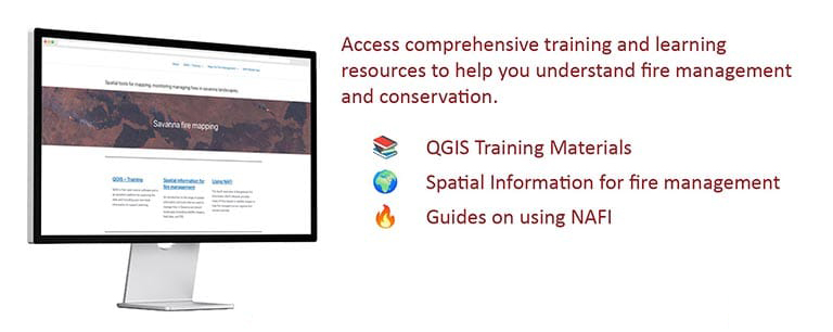
Access comprehensive training and learning resources to help you understand fire management and conservation.

Visit the site
Tools

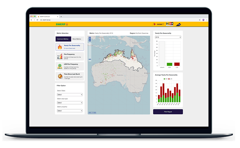
Savanna Monitoring and Evaluation Reporting Framework

SMERF is an online platform for monitoring and evaluating fire impacts on individual properties or broader regions where burnt-area mapping is available.

Visit the site

Read this first

  • Regular hotspot locations on any map may only be accurate to within 1.5 km
  • 10-minute hotspot locations on any map may only be accurate to within 2 km
  • The hotspot symbol on the maps does not indicate the size of the fire
  • Some fires may be small, brief, or obscured by smoke or cloud and go undetected
  • Hotspots can also be generated by heat sources such as smokestacks and hot desert features
  • The 10-minute sensor can also generate hotspots from wet landscapes in the northern wet season

Get in touch with us

Need to get in touch with us? Find the appropriate contact person below and reach out using your preferred method.

NAFI Service manager & WA burnt area mapping

Kerry Crosbie

Charles Darwin University

Email: kerry.crosbie@cdu.edu.au

Software Engineer (Data Systems & Applications)

Patrice Weber

Charles Darwin University

Email: patrice.weber@cdu.edu.au

Software Engineer (Applications Development)

Aasish Adhikari

Charles Darwin University

Email: aasish.adhikari@cdu.edu.au

NT burnt area mapping

Rohan Fisher

Charles Darwin University

Email: rohan.fisher@cdu.edu.au

QLD and SA burnt area mapping

Aidan Joseph

FNQ Spatial Data Services

Email: aidan@fnqspatial.com

General enquiry

NAFI team

Charles Darwin University

Email: nafi@cdu.edu.au